Donner Pass California: Gateway to Scenic Adventures
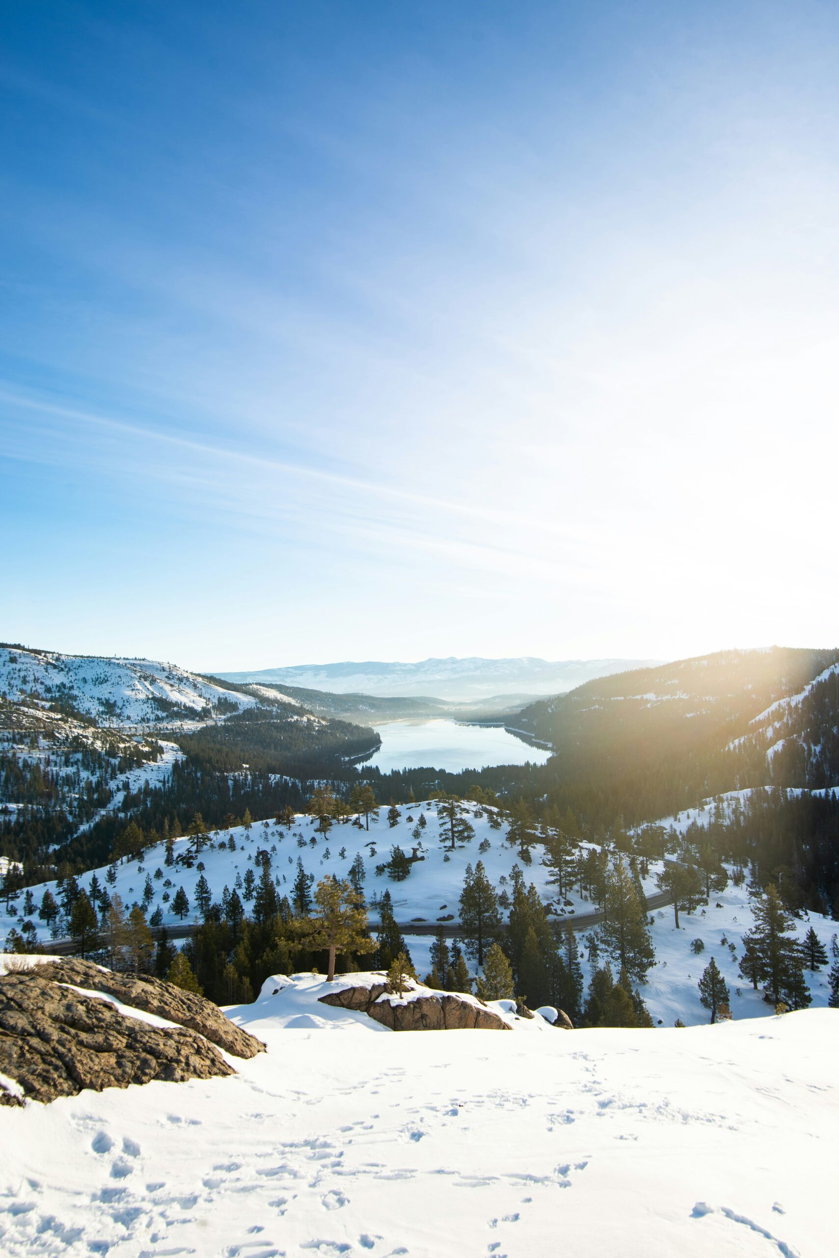
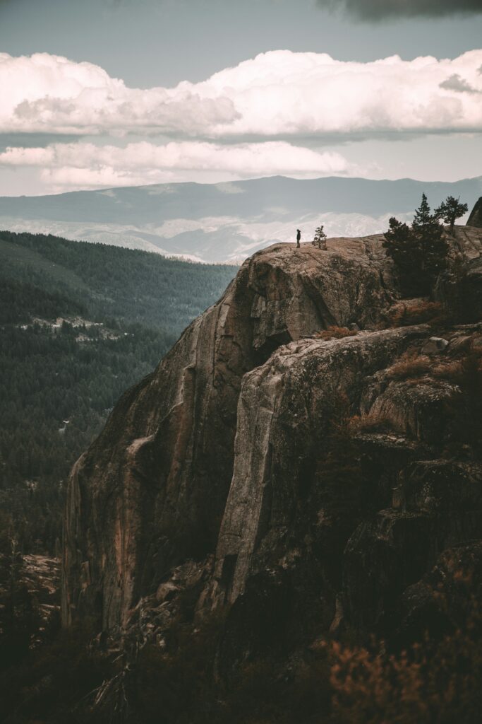
Nestled high in the northern Sierra Nevada, Donner Pass California holds both historical significance and modern-day importance. As you explore this region, you’ll find it to be a 7,056-foot-high mountain pass that has played a pivotal role in America’s westward expansion. This scenic pass, located about 9 miles west of Truckee, Califonia, not only offers breathtaking views but also has a steep approach from the east and a more gradual slope from the west.
The history of Donner Pass is both inspiring and somber, as it is named after the ill-fated Donner Party, which endured unbelievable hardships there in the winter of 1846. Today, the pass is a crucial transportation route, connecting the San Francisco Bay Area with Reno, Nevada, and serving as a gateway to various outdoor activities. Whether you’re interested in its captivating history or the stunning natural beauty it’s surrounded by, your journey through Donner Pass California, is sure to be unforgettable.
Donner Pass California: Gateway to Scenic Adventures
Historical Significance
Donner Pass California holds a complex legacy, marked by both a harrowing tale of survival and a marvel of engineering. As you delve into its history, you’ll uncover stories of perseverance that highlight both human vulnerability and ingenuity.
Donner Party Tragedy
In the winter of 1846-47, the Donner Party, a group of American pioneers, became a symbol of the perilous journey westward through the pass. Stranded by heavy snowfall, they faced starvation and extreme conditions. Their story is notorious for the unfortunate resort to cannibalism as a means of survival. Learning about the plight of George Donner and the other emigrants offers a glimpse into the risks early settlers took in pursuit of a new life.
Transcontinental Railroad
The completion of the Transcontinental Railroad in 1869 revolutionized America’s transportation system. It’s fascinating to know that the rail line through Donner Pass was a significant feat, partly built by the tireless efforts of Chinese laborers. This railroad not only connected the country’s coasts but also marked a new era of travel and commerce, forever altering the nation’s economic landscape.

Geography and Topography
As you explore Donner Pass California, you’ll traverse the rugged Sierra Nevada terrain, witness the remnants of the Summit Tunnel and the China Wall, and take in the expansive views from Donner Summit.
Sierra Nevada Terrain
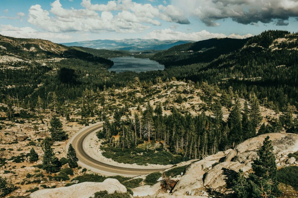
The Sierra Nevada mountain range cradles Donner Pass within its peaks. Located in northern California, the pass slices through the range, creating a natural corridor above Donner Lake. Elevation is a key feature here, with the Donner Pass summit rising to 7,056 feet. The terrain is characterized by steep gradients on the eastern side and more gradual inclines to the west.
Summit Tunnel and China Wall
The historical Summit Tunnel, which is part of the First Transcontinental Railroad, stands as a testament to the engineering feats of the 19th century. Near this tunnel, you can also find the China Wall, a structure built by Chinese laborers that supported the railroad’s track bed.
Donner Summit
The Donner Summit marks the apex of the pass, where the views stretch across the Sierra Nevada. It’s not just a geographical peak but also a historical waypoint, integral to the development of transcontinental transport and the tragic story of the Donner Party. With GPS coordinates of 39.3190718, -120.3285346, the summit’s elevation reaches 7,093 feet, as noted on topographic maps like those found at Topozone.
Climate and Weather Patterns
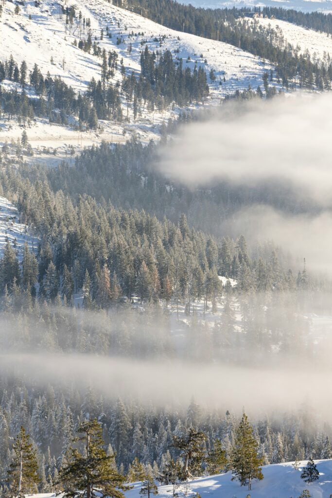
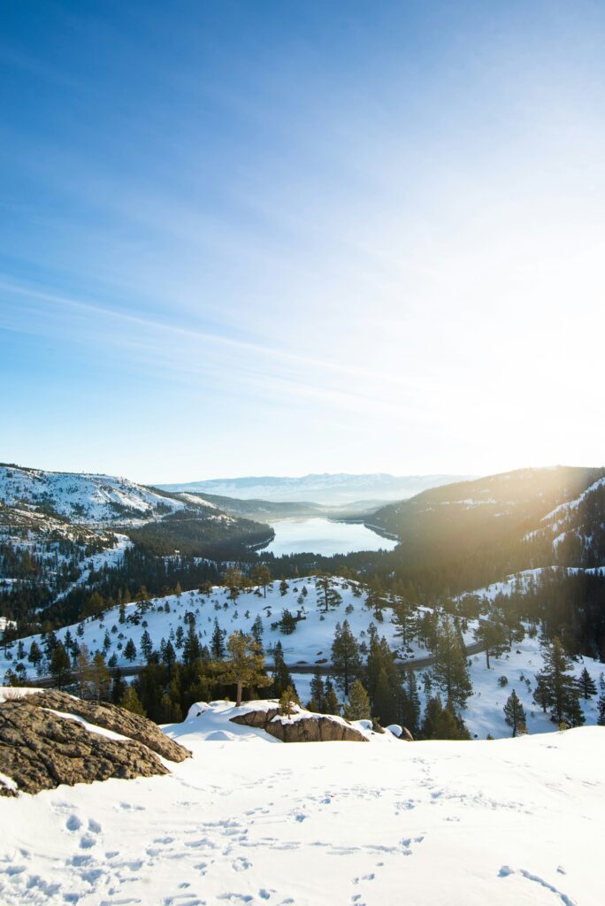
Donner Pass California, located in the majestic Sierra Nevada, is known for its distinct climate, particularly regarding its snowfall. You’ll find that the winter months bring substantial snow to the area, greatly influencing travel and local activities.
Snowfall in the Sierra Nevada
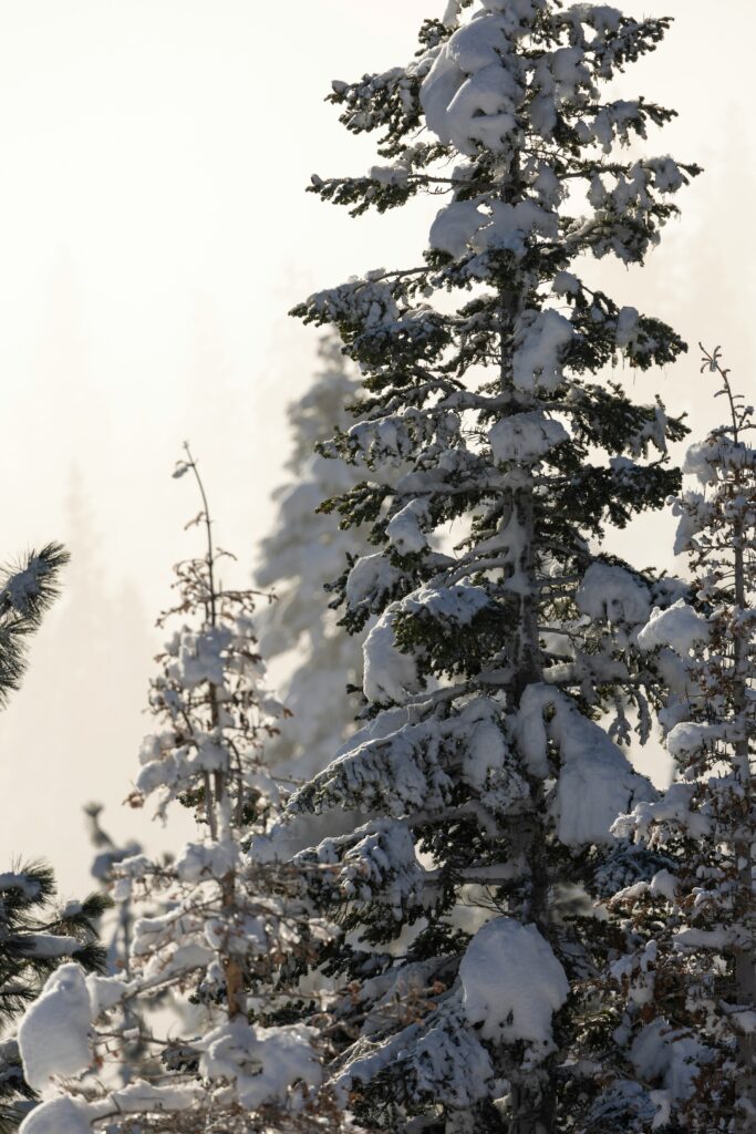
In Donner Pass California, your experiences with snow can be both awe-inspiring and challenging. The Sierra Nevada is famous for its heavy snowfall, which can be critical for the local water supply and the recreational industry. During the colder months, usually from November to April, Donner Pass often sees significant levels of snow, with accumulations that can surpass several feet. For instance, historical weather data reflects periods when Donner Pass has experienced up to four feet of snow, especially in the high-elevation areas.
- Average Snowfall: The region can receive between 300 to 500 inches of snow annually.
- Extreme Weather: At times, storms can lead to temporary closures of transport routes, like Interstate 80.
When planning a visit or a journey through Donner Pass California, it’s best to stay updated on the latest weather forecasts and be prepared for potential heavy snow, which can drastically affect visibility and road conditions. Snow enthusiasts, on the other hand, can revel in the abundant snowfall that provides excellent conditions for skiing and snowboarding.
Recreation and Tourism
When you explore Donner Pass, California, you’re greeted with a variety of recreational activities set against a stunning backdrop of natural beauty. Whether you’re looking to hit the slopes, enjoy a peaceful hike, or immerse yourself in history, this area has something special for you.
Donner Memorial State Park
At Donner Memorial State Park, you can step back in time and honor the legacy of the early emigrants who traversed these lands. The park offers you the chance to enjoy Donner Lake’s crystal-clear waters, perfect for a day of swimming, kayaking, or fishing. When you visit the Emigrant Trail Museum, you’ll learn about the area’s rich history, including the ill-fated Donner Party.
Donner Ski Ranch
If you’re a winter sports enthusiast, Donner Ski Ranch is a must-visit. Known for its family-friendly atmosphere, you can experience the thrill of skiing or snowboarding on powdery slopes without the crowds of larger resorts. Plus, it often boasts one of the earliest snow seasons, giving you more time on the mountain.
Hiking Trails
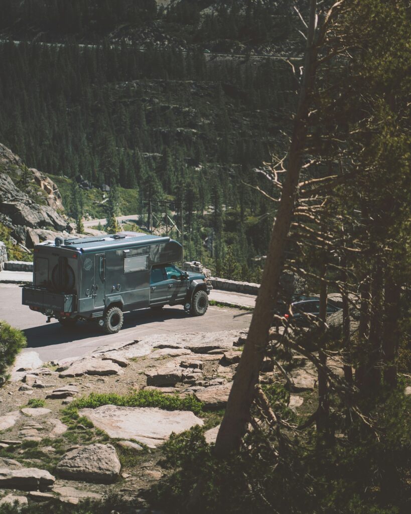
For the hiking aficionados, Donner Pass California is a treasure trove of trails, each offering its own unique blend of breathtaking views and physical challenge. From easy strolls around Donner Lake to more strenuous paths like the Pacific Crest Trail, you’re sure to find a hike that matches your adventure level. Don’t forget to bring your camera to capture the panoramic vistas that await you at the summit.
Related Post:
Transportation and Access
When planning your trip to Donner Pass, you have a couple of major routes to consider. Both are steeped in history and offer unique perspectives of this scenic area.
Interstate 80
I-80 is the primary highway you’ll use to reach Donner Pass. This interstate is a vital east-west corridor across the Sierra Nevada, connecting Sacramento in California to Reno in Nevada. You’ll find that I-80 passes through the Donner Pass area, and it is a well-maintained road, allowing for easy access to the pass year-round. However, due to its high elevation of over 7,000 feet, winter conditions can lead to temporary closures for safety, as was the case during the blizzard over California in March 2024.
Transmontane Route
Alternatively, the Transmontane Route, which includes the historic California Trail, is another way people have traversed the rugged terrain of the Sierra Nevada. Previously used by pioneers, this trail played a significant role in the westward expansion of the United States. The terrain here is more challenging than the modern highway, so it’s ideal for those seeking a more adventurous journey to Donner Pass California. Today, you can still access parts of this route and imagine what travelers faced before modern roads existed.
Donner Lake
Nestled in the Sierra Nevada, Donner Lake provides a picturesque background that not only caters to various recreational activities but also serves as an echoing reminder of the pioneering history of the region.
Recreational Activities
At Donner Lake, you’re offered an array of activities that encourage an active and engaging experience with nature. You can go swimming in the clear, refreshing waters or try your hand at fishing for the local catches. Boating enthusiasts enjoy the calm waters, while hiking trails abound for those looking to explore the surrounding landscapes.
- Swim in the calm waters of Donner Lake
- Fish for Rainbow Trout and Brown Trout
- Take a boat out to enjoy the serenity of the lake
- Hike on the trails offering stunning views of the lake and mountains
Historical Context
Donner Lake holds a significant place in American history as a site that the pioneers traversed during their westward journey. It’s named after the Donner Party, settlers who became snowbound in the area during the winter of 1846–47. The lake is a silent testament to the challenges faced on the frontier and the indomitable spirit of those early adventurers.
- Donner Party: Named after the group of pioneers who faced stark challenges here
- 1846-47: The winter years when the Donner Party got caught in the Sierra Nevada
Visit Donner Lake to witness the serene beauty and remember the historical significance of this stunning location.
Local Towns and Cities
When you explore the region around Donner Pass California, you’ll discover charming towns and vibrant cities each with their own character and historical significance. The Town of Truckee, City of Reno, and the proximity to San Francisco shape the experience within this iconic part of California.
Town of Truckee
Truckee is a high-elevation town with a rich history and a population of around 16,900. It’s where you can delve into the past at Donner Memorial State Park or enjoy a scenic drive on Donner Pass Road. Once known as Gray’s Station, Truckee proudly remembers its roots and offers a cozy, small-town atmosphere.
City of Reno
A bit further east of Donner Pass, you’ll find the vibrant City of Reno, Nevada. Known as the ‘Biggest Little City in the World’, Reno is a hub of entertainment, culture, and outdoor activities. With its close proximity to the Sierra Nevada, the city serves as a major connection between San Francisco and the mountain ranges.
Related Post:
Donner Pass Road
Spanning the Sierra Nevada in California, Donner Pass Road has a storied history and remains vital for transportation today. It’s your gateway to rich history and current-day travel needs in this region.
Historic Route
Donner Pass Road traces a path laden with history, once serving as a route for the Native Americans, later for emigrants, and eventually becoming part of the transcontinental railroad. It was the tragic Donner Party in the winter of 1846-47 that etched the name into history books, highlighting the road’s role in America’s westward expansion.
Modern-Day Usage
In its present form, Donner Pass Road is a lifeline for the area, used by residents and visitors alike for travel and recreation. Severe weather can affect the road; as recently as March 2024, a blizzard caused significant closures. However, ongoing road improvements aim to enhance safety and accessibility, ensuring Donner Pass Road remains a key component in California's transportation network.
The Donner Party's Route
Your journey through history follows the ill-fated path of the Donner Party, a group of pioneers who sought a new life in California. Their trek became a pivotal lesson in the risks of wagon trail travel during the 19th century.
California Trail
The California Trail was the path the Donner Party initially followed. Much like other emigrants headed west, your story traces the group's departure from Springfield, Illinois, venturing on established trails towards hopes of prosperity. Their journey began amidst the vast network of routes that made up the Oregon Trail, before reaching a crucial decision point at Fort Bridger.
- Starting Point: Springfield, Illinois
- Key Trail: Oregon Trail
- Decision Point: Fort Bridger
Hastings Cutoff
In search of a shortcut, the Donner Party chose the Hastings Cutoff, a route proposed by Lansford Hastings. You'll see that this unproven path promised to cut weeks off their journey but led directly through the harsh terrain of the Wasatch Mountains and the salt flats near the Great Salt Lake.
- Promised Shortcut: Hastings Cutoff
- Challenging Obstacles:
- Wasatch Mountains
- Salt flats near Great Salt Lake
Despite the hopeful shortcut, what laid ahead was a trial by nature that severely delayed their travel and contributed to one of the most harrowing sagas of pioneer history.
Natural Conservation
Donner Pass isn't just a gateway through the Sierra Nevada; it's a place where you can witness nature's grandeur and feel the earnest efforts to conserve the pristine beauty of the region.
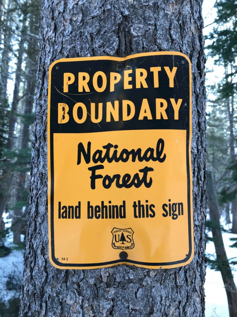
Tahoe National Forest
Amidst the towering peaks that surround Donner Pass, you're embraced by the expansive Tahoe National Forest, a true jewel of the United States. At an elevation of 7,056 feet, the Donner Pass area within the forest offers a diverse range of ecosystems for you to explore and is a testament to conservation efforts. Here, majestic conifers intersperse with wildflower-strewn meadows, creating a stunning mosaic of flora that thrives at various altitudes.
The forest service meticulously manages the land, balancing recreational use with the need to protect the natural habitat. Your visit to the Tahoe National Forest contributes to this balance, supporting the ongoing preservation work that ensures generations to come can enjoy the untouched wilderness.
By respecting designated trails and observing all conservation guidelines during your visit, you help maintain the ecological integrity of this cherished part of the United States. So breathe in the crisp mountain air and marvel at the forest's splendor, knowing you're part of its enduring legacy.
Related Post:
Frequently Asked Questions
In this section, you'll find answers to common queries about Donner Pass California, providing insight into its weather, activities, historical significance, and travel advice.
What are some landmarks associated with the Donner Party?
The area around Donner Pass California is home to several landmarks, including Donner Memorial State Park and the Pioneer Monument, which commemorate the Donner Party and their tragic story. You can also visit the site of the Murphy cabin, one of the few remaining structures from that period.
How does the weather typically vary at Donner Pass California throughout the year?
At Donner Pass California, the weather can be highly variable. Summers are usually warm and dry, ideal for hiking and outdoor activities, while winters can be harsh, with heavy snowfall that harks back to the conditions faced by the Donner Party.
What are some recommended activities when visiting Donner Pass California?
There are numerous activities you can enjoy at Donner Pass California, such as hiking the Historic Donner Pass Trail, visiting the Donner Summit Bridge, or taking a scenic drive to enjoy panoramic views. In winter, snowshoeing and cross-country skiing are popular.
What is the historical significance of the Donner Pass California tragedy?
The tragedy at Donner Pass is a somber chapter in American history, illustrating the perilous journey made by emigrants during the 19th century. The Donner Party suffered greatly during the winter of 1846-47, and their misfortune has become a symbol of human endurance and resolve in the face of nature's extremes.
How long is the stretch of I-80 known as Donner Pass?
The stretch of Interstate 80 that crosses Donner Pass is roughly 15 miles long. It's part of the major transcontinental route and serves as a vital corridor connecting California and Nevada.
What are the driving conditions like on Donner Pass California during different seasons?
During summer, driving conditions on Donner Pass California are generally clear, though it can be busy with tourist traffic. In winter, conditions can become treacherous with snow and ice, making winter tires or chains essential for travel.

