California’s Winter Storm Snowfall Forecast 2025: Sierra Nevada Expected to Receive Up to 10 Feet
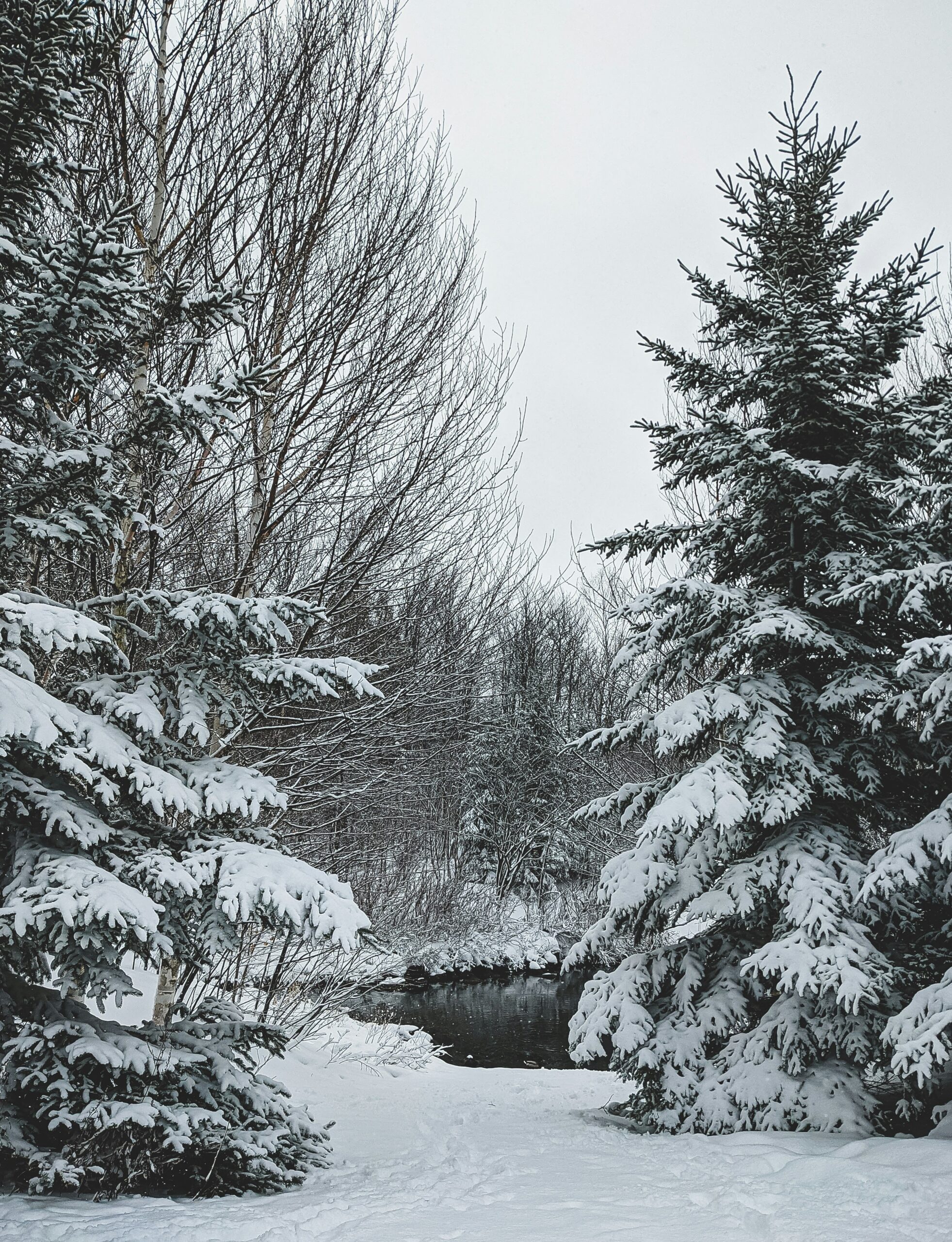
California's winter storms are intensifying as Winter Storm Jett brings significant snowfall across the state. The Sierra Nevada mountains have become a focal point of severe winter weather, with Truckee experiencing substantial snow accumulation.
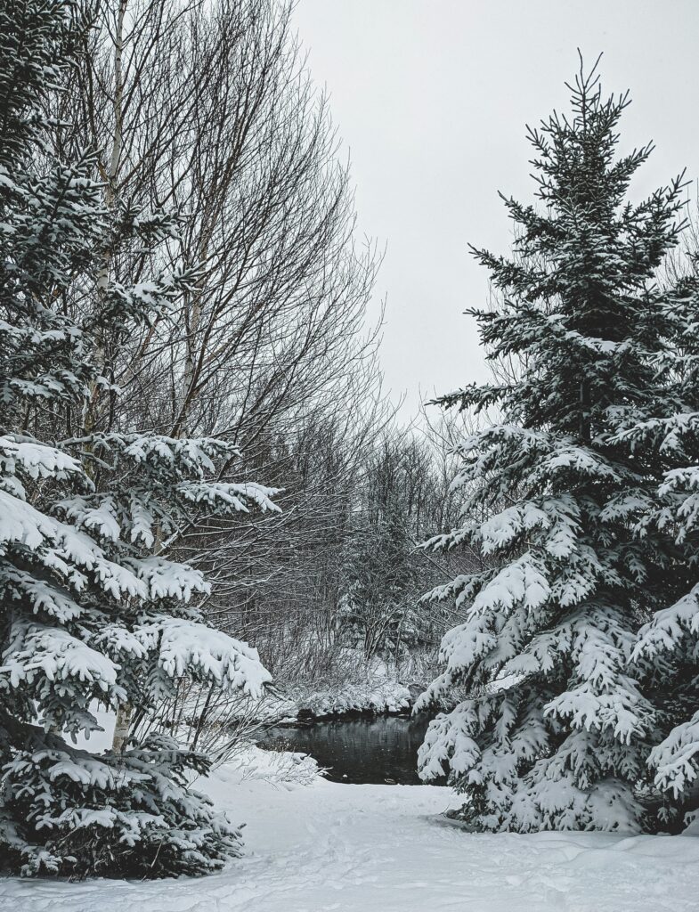
The National Weather Service predicts continued heavy snowfall through winter 2025, with flood watches issued for California's Central Valley and elevated precipitation levels in the Sierra region. These conditions align with the emerging La Nina pattern, which typically brings wetter conditions to Northern California.
You can expect this weather pattern to persist as The Old Farmer's Almanac's 2025 edition confirms an active winter season for California. The combination of atmospheric rivers and cold fronts creates ideal conditions for significant mountain snow accumulation and valley rainfall.
California's Winter Storm Snowfall Forecast 2025: Sierra Nevada Expected to Receive Up to 10 Feet
Historical Data and Trends
California's snowfall patterns show significant year-over-year fluctuations, with recent winters demonstrating notable deviations from historical averages. Current measurements reveal the California snowpack sits at 108% of the historical average.
Comparative Analysis with Previous Years
Your local winter weather records indicate substantial variability across recent seasons. The January 2025 period marked the coldest January since 1988 for much of the western United States.
The Climate Prediction Center's data demonstrates three distinct patterns:
- Above-average snowfall in high-elevation areas
- Reduced precipitation in coastal regions
- More frequent atmospheric river events
Winter storm intensity has increased, with the 2025 season featuring multiple coast-to-coast winter storms.
Impact of Climate Change on Snowfall
Your regional climate indicators point to shifting precipitation patterns. Mountain snowpack formation now occurs at higher elevations compared to 20th-century averages.
Temperature fluctuations have created new challenges:
- Earlier spring melting
- Increased rain-to-snow ratio
- More volatile storm systems
The National Climatic Data Center's records show accelerated changes in seasonal temperature variations, affecting snow accumulation rates and persistence.
You can expect more extreme weather events, with atmospheric rivers becoming a dominant factor in California's winter precipitation patterns.
Current Winter Storm Developments
California faces multiple severe weather systems bringing heavy precipitation and mountain snow through mid-February 2025. The storms pose significant risks to communities across the state.
Atmospheric River Events
A powerful atmospheric river system targets California, delivering substantial rainfall to coastal regions and heavy snow at higher elevations.
You can expect snowfall rates of 1-2 inches per hour in mountainous areas above 5,000 feet elevation.
The storm will intensify as it moves inland, with widespread downpours and damaging winds affecting both Northern and Southern California regions.
Storm Warnings and Advisories
State officials have activated emergency response protocols. Governor Newsom has pre-deployed resources including 3.7 million sandbags across 25 counties.
Your local emergency management teams maintain flood fight material containers throughout Northern and Central California.
The California-Nevada River Forecast Center conducts frequent river level assessments to monitor flood risks. You should stay alert for rapid changes in conditions.
Key Safety Measures:
- Monitor local weather alerts
- Avoid mountain travel during peak storm periods
- Keep emergency supplies ready
- Follow evacuation orders if issued
Temperature Forecasts
California faces significant temperature variations during winter 2025, with Arctic air masses bringing record lows to northern regions while southern areas maintain milder conditions.
Northern California's Outlook
You'll experience notably colder temperatures throughout Northern California this winter season. Daytime highs will range between 45-55°F, with overnight lows frequently dropping below freezing.
Mountain communities should prepare for even colder conditions, with temperatures often falling into the 20s°F during nighttime hours. These below-average temperatures will be most pronounced during:
- Early morning hours (4 AM – 8 AM)
- After winter storm systems
- During Arctic air intrusions
Southern California's Outlook
Your winter temperatures in Southern California will remain relatively moderate due to La Niña Modoki conditions. Expect daytime highs typically ranging from 65-75°F along coastal areas.
Inland valleys will see slightly cooler temperatures, with highs in the low 60s and overnight lows in the mid-40s. Desert regions should prepare for:
- Daytime highs: 60-70°F
- Overnight lows: 35-45°F
- Occasional frost in low-lying areas

Precipitation and Snow Accumulation
California faces significant snowfall and rainfall through mid-February, with heavy accumulations expected in mountain regions and potential snow reaching unusually low elevations.
Sierra Nevada Snow Predictions
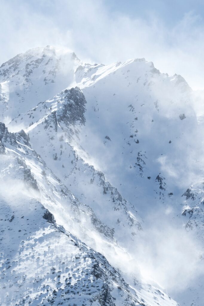
The Sierra Nevada mountain range expects heavy snowfall through the coming days. You'll see accumulations of 2-3 feet above 6,000 feet elevation.
Snow levels will fluctuate between 4,500 and 5,500 feet as temperatures vary. The heaviest snowfall will occur overnight when temperatures drop.
Popular ski destinations like Mammoth Mountain and Tahoe resorts should prepare for blizzard conditions during peak storm periods. Visibility may drop to near zero at times.
Low Elevation Snowfall
Northern Sacramento Valley areas between 500-2,000 feet elevation can expect 2-6 inches of snow accumulation.
You'll need to prepare for unusual snow conditions in foothill communities that rarely see significant accumulation. Road conditions may become hazardous, especially on bridges and overpasses.
Key elevations to watch:
- 2,000 ft: 4-8 inches possible
- 1,000-2,000 ft: 2-6 inches expected
- 500-1,000 ft: Trace amounts to 2 inches
Meteorological Analysis
The complex interplay between La Niña conditions and atmospheric jet stream patterns shapes California's winter storm forecasts through early 2025, with significant implications for snowfall across the region.
Role of La Niña
La Niña conditions are building with a unique Modoki pattern, which affects California's precipitation patterns differently than typical La Niña events.
NOAA's analysis indicates this pattern will strengthen through February 2025, pushing cold Arctic air southward while maintaining warmer-than-average Pacific waters off the coast.
You'll notice the effects most prominently in the Sierra Nevada range, where recent cold storms have delivered multiple feet of snow, breaking from this winter's predominantly warm storm pattern.
Jet Stream Influence
The Pacific jet stream has shifted south of its typical position, creating a high-pressure ridge that meteorologist Ryan Maue identifies as crucial for storm development.
A powerful high-pressure system in the Pacific is directing storms toward California, bringing both rain to lower elevations and significant snowfall to mountainous regions.
The National Weather Service predicts this pattern will persist through March, maintaining favorable conditions for additional snowfall events in the Sierra Nevada range.
Regional Impact Assessment
The winter storm system brings varying effects across California's diverse regions, with snowfall patterns distinctly impacting agricultural operations and urban infrastructure through February 2025.
Agricultural Zone Forecasts
Your agricultural operations in California's Central Valley face significant snowmelt considerations for irrigation planning. The Sierra Nevada snowpack currently sits near average levels, providing crucial water resources for spring growing seasons.
Key farming regions should prepare for:
- Moderate soil moisture levels from controlled snowmelt
- Extended frost protection needs in foothill orchards
- Adjusted irrigation schedules based on snowpack conditions
Urban Areas and Infrastructure
Your city infrastructure requires specific preparation as winter storms continue to develop across California's metropolitan zones. Major urban centers from Los Angeles to Sacramento face varying degrees of snow-related challenges.
Priority areas for urban planning include:
- Snow removal routes in higher elevation communities
- Power grid reinforcement in storm-vulnerable areas
- Water management systems for snowmelt collection
Transportation networks in the Sierra Nevada region need enhanced monitoring, with potential chain controls on major highways during storm events.
Winter Safety and Preparedness
Protecting yourself during severe winter conditions requires specific preparation at home and careful planning for travel. California has pre-positioned flood fight materials across 25 counties to help communities stay safe.
Home and Personal Safety
Keep your emergency kit stocked with essentials: flashlights, batteries, first-aid supplies, and at least 3 days of non-perishable food and water.
Monitor winter storm warnings and weather advisories through local news or weather apps. Set up emergency alerts on your phone.
Key Home Safety Measures:
- Insulate pipes to prevent freezing
- Test smoke and carbon monoxide detectors
- Keep portable heaters at least 3 feet from flammable items
- Clear rain gutters and trim tree branches
Road Conditions and Travel Safety
Check tire tread and pressure before driving in winter conditions. Keep your gas tank at least half full to prevent fuel line freezing.
Essential Car Emergency Kit:
- Jumper cables
- Ice scraper and snow brush
- Blankets and warm clothing
- Phone charger
- Small shovel
- Flashlight
- First-aid kit
Avoid driving during severe weather events. If you must travel, share your route and expected arrival time with family or friends.
Check road conditions before departure. Maintain extra distance between vehicles and reduce speed when roads are wet or icy.

Ecological and Environmental Concerns
The current winter storm patterns in California bring both immediate challenges and potential benefits to the state's delicate ecological balance. The interplay between snowfall, soil conditions, and water resources requires careful monitoring.
Wildfire Risks after Snowfall
Burn scar areas face heightened risks of mudslides and debris flows during intense precipitation events. Your local fire-prone areas need special attention even after snowfall.
Heavy snow can break branches and create new fuel loads when vegetation thaws in spring. This creates potential fire hazards in the coming dry season.
The Sierra snowpack measuring 65% below average means drier-than-average conditions may persist into summer, increasing fire risks in higher elevations.
Water Resource Management
Your local water supplies depend heavily on proper snowmelt timing. A balanced melt rate helps prevent flooding while maintaining steady water flow into reservoirs.
The recent atmospheric river events provide critical rainfall but require careful management to capture and store effectively.
Urban flooding risks increase when intense storms hit. You should prepare for possible water conservation measures if spring rainfall remains limited.
Snow accumulation patterns affect groundwater recharge rates. Your watershed's health relies on steady snow accumulation rather than sudden heavy storms.
Extended Forecast and Uncertainties
The latest winter weather forecasts indicate significant snowfall potential across California through early 2025, with multiple storm systems expected to bring varying amounts of precipitation.
Month-to-Month Winter Outlook
Your local weather patterns will fluctuate significantly between February and April 2025. The Climate Prediction Center anticipates back-to-back storm systems hitting California every few days, particularly impacting the Sierra Nevada region.
Expected Monthly Snowfall Probability:
- February: 70% chance of above-average snowfall
- March: 55% chance of normal precipitation
- April: 40% chance of below-average snowfall
Areas like Mammoth Mountain should prepare for substantial snow accumulation during this period.
Predictive Challenges
Your local forecast accuracy depends on several complex factors. The probabilistic snowfall models use multiple data points to estimate snow amounts, but mountain terrain creates unique forecasting difficulties.
Key factors affecting forecast reliability:
- Elevation variations
- Temperature fluctuations
- Storm track changes
- Maritime influence
You should expect forecast adjustments within 72 hours of each weather event as meteorologists refine their predictions using updated model data.
Economic and Policy Responses
California has activated comprehensive emergency measures and financial aid programs to address the winter storm challenges of 2025, with $47 million allocated for immediate disaster response and community support.
State Emergency Protocols
Governor Newsom has pre-deployed emergency resources across 25 counties, including 3.7 million sandbags and 162 flood fight containers.
The Department of Water Resources conducts river forecasts four times daily to monitor flood risks and water management needs.
You can access emergency alerts through the Cal OES app or by texting your zip code to 888777 for local updates.
Economic Aid and Insurance
Your insurance claims for storm damage should be filed within 60 days of the incident, with most carriers offering expedited processing during state-declared emergencies.
Small businesses affected by winter storms can apply for disaster loans up to $250,000 through the state's emergency relief program.
The construction cost index for Northern California shows a slight decrease, potentially reducing rebuild costs for storm-damaged structures.

